

Trusted by Teams Building and Operating Energy Infrastructure at Scale
Projects Digitized
One Platform for the Entire T&D Lifecycle
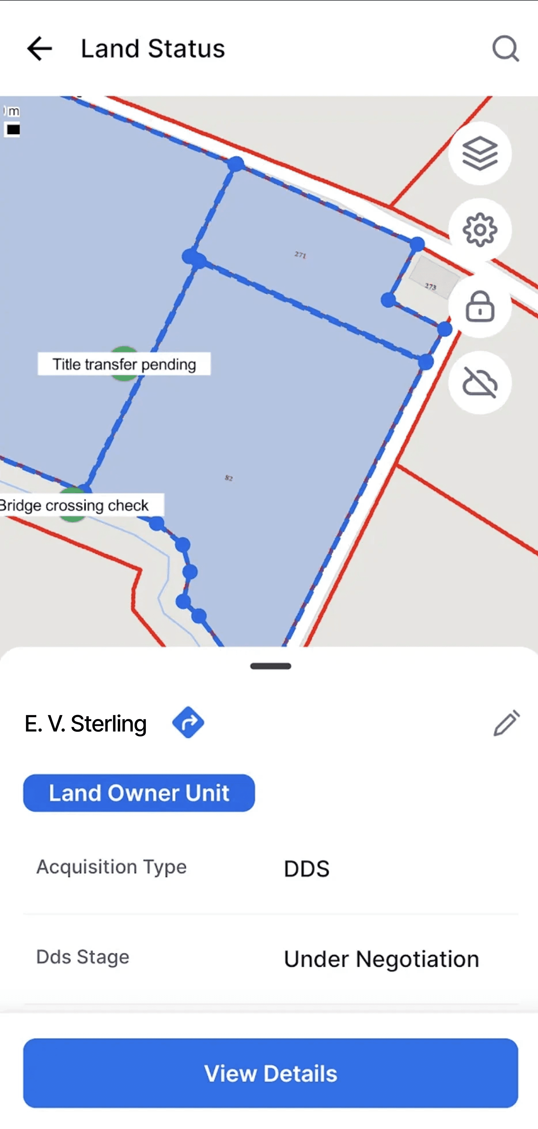
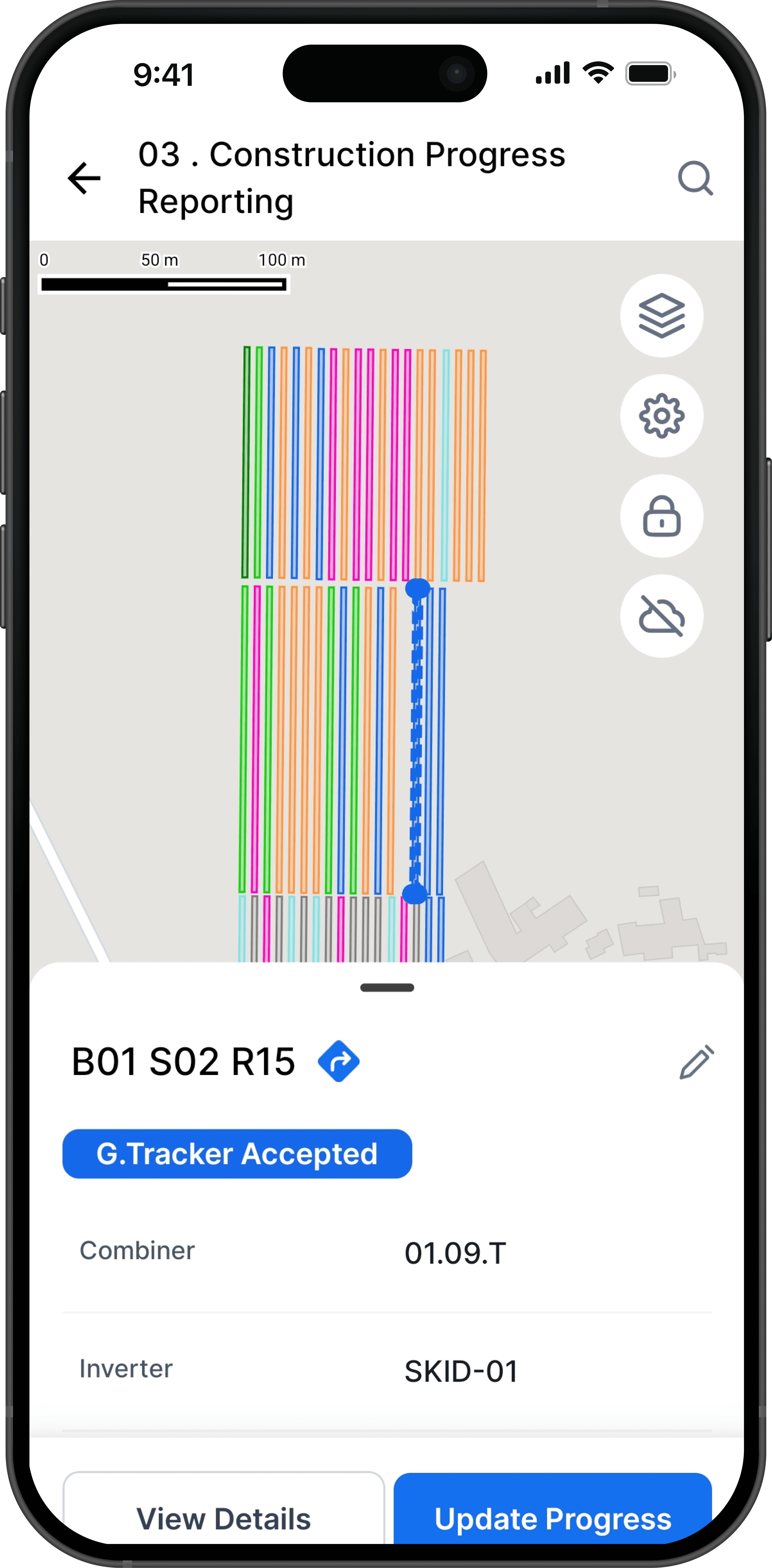
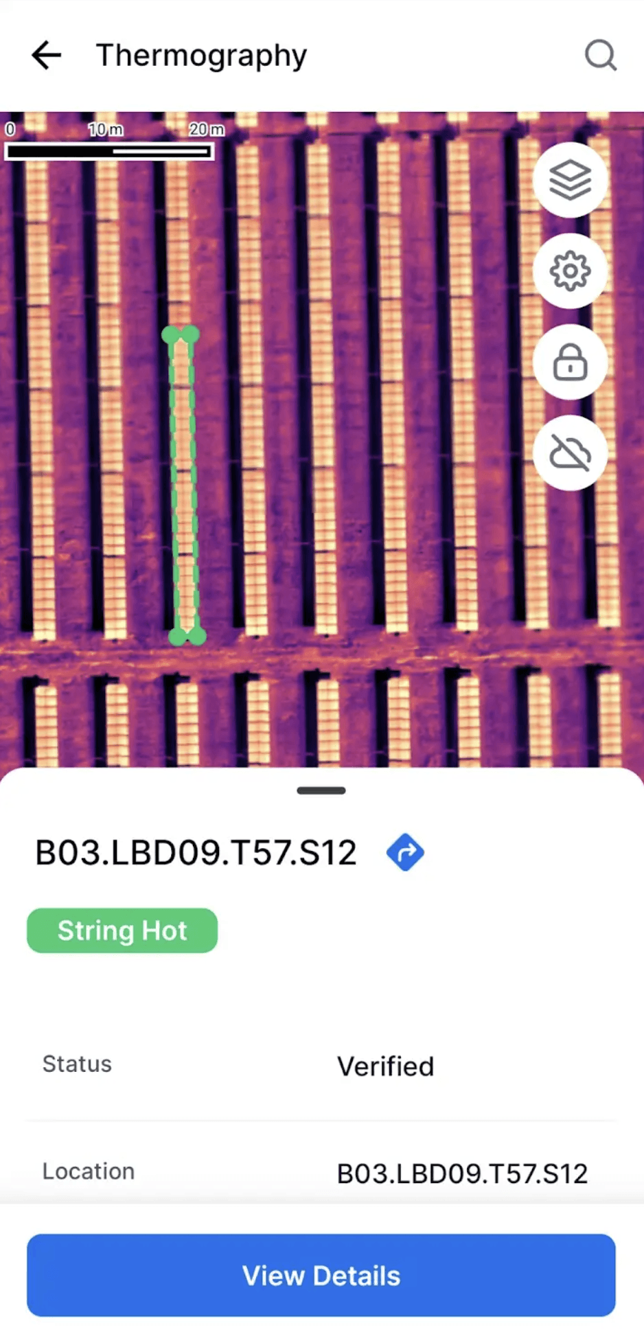
Your T&D data lives in spreadsheets, ERPs, and WhatsApp threads. These data silos prevent easy transfer of information between teams during Development, Construction, and Handover to Operations.
SenseHawk brings it all into one map-based T&D software platform — connecting scattered teams, fragmented workflows, and lifecycle gaps into a single source of truth, across every tower, span, and substation in your network.
The T&D Value Chain
Empowering Every Role in the T&D Value Chain
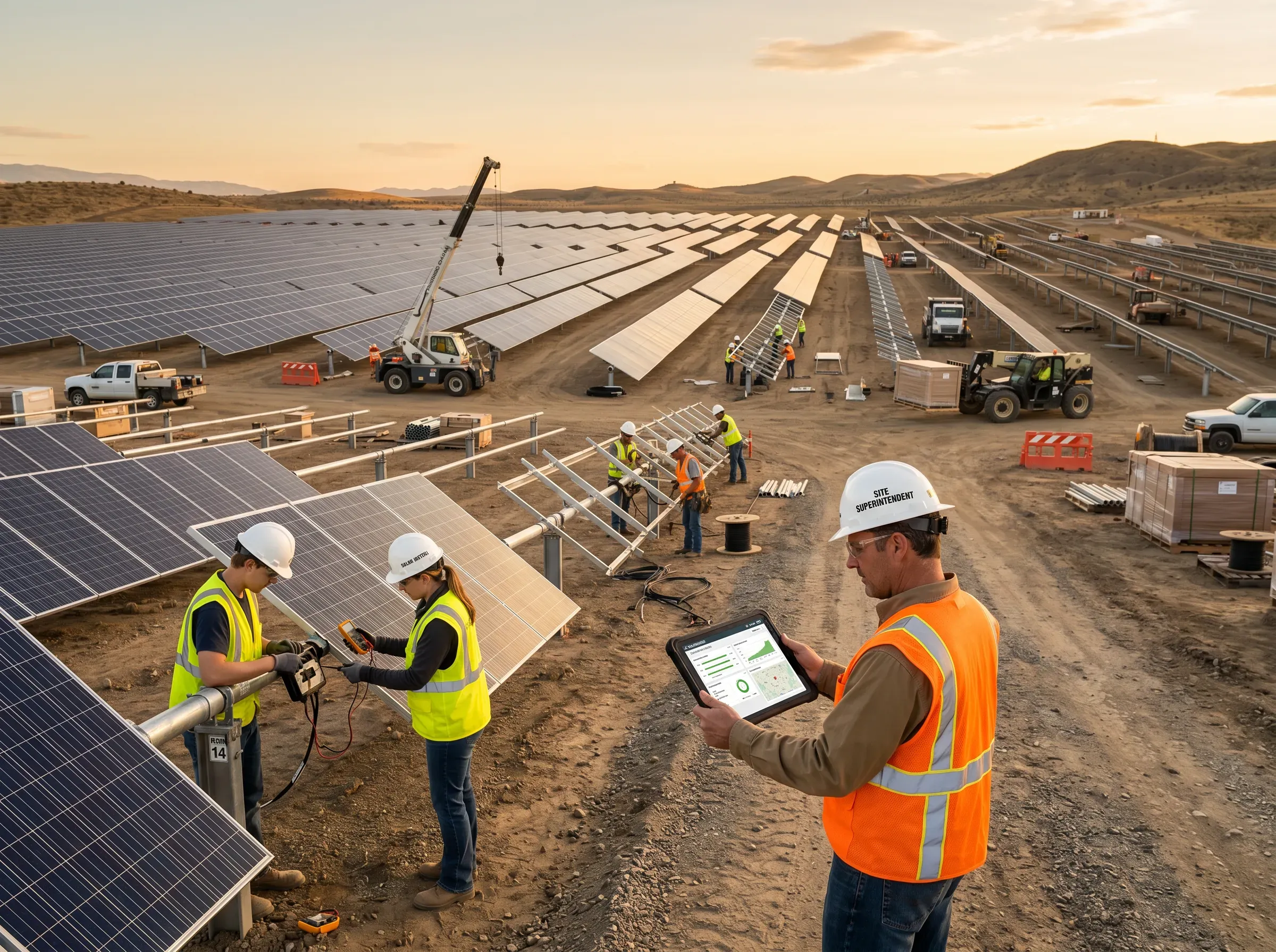
From route planning to energization, we provide a unified geospatial system of record — connecting distributed field crews, multiple contractors, and siloed data across your entire corridor and substation portfolio.





Platform
One Platform Across the T&D Lifecycle
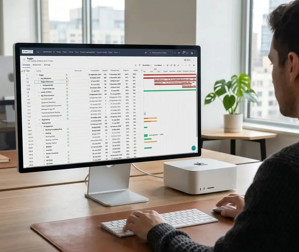
TaskMapper keeps project data continuous across every phase of the line lifecycle - so handovers are cleaner, decisions are faster, and every team works from the same source of truth.




Digital Twin
More Than a Map. A Living Model of Your T&D Network.
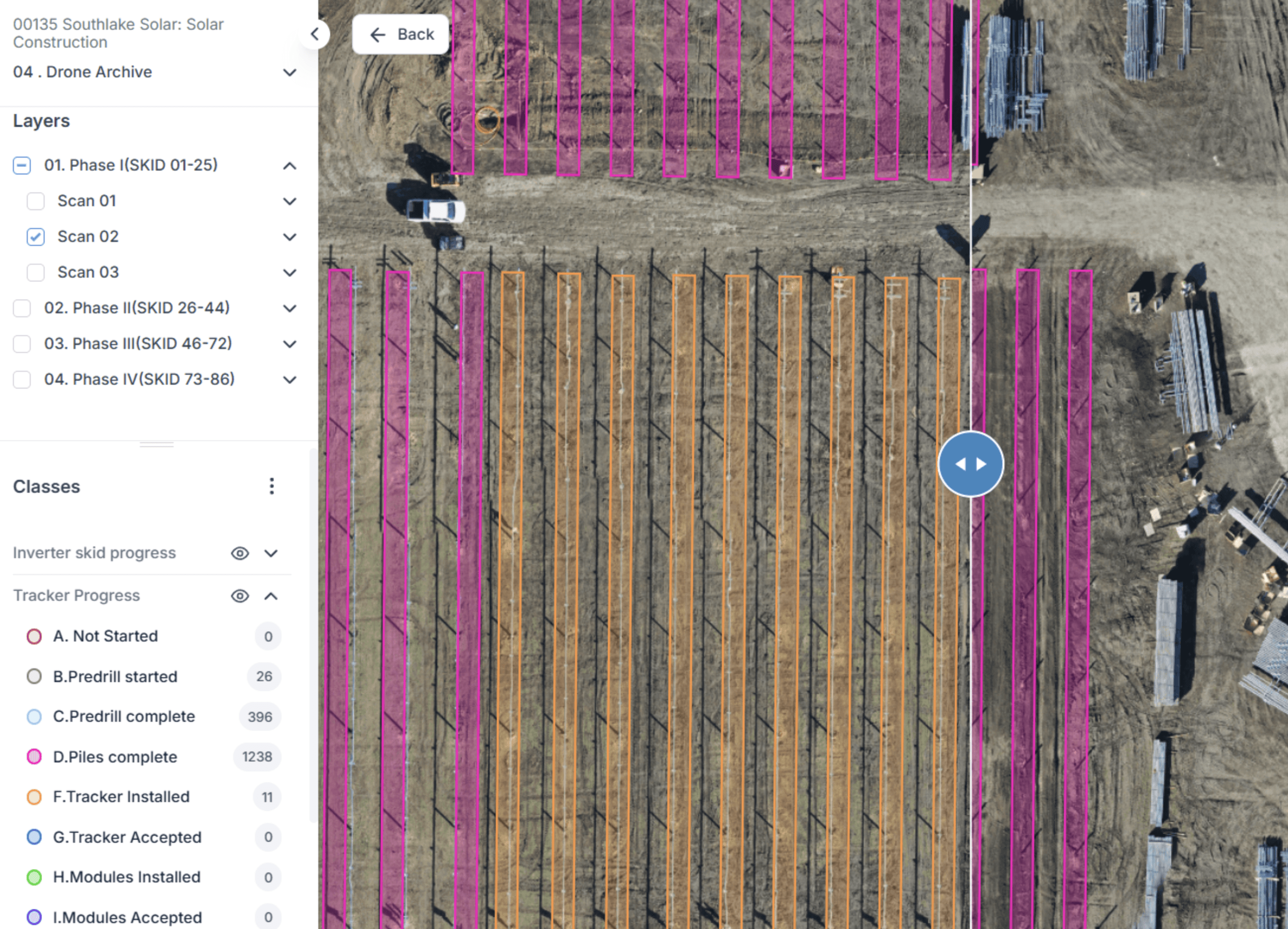
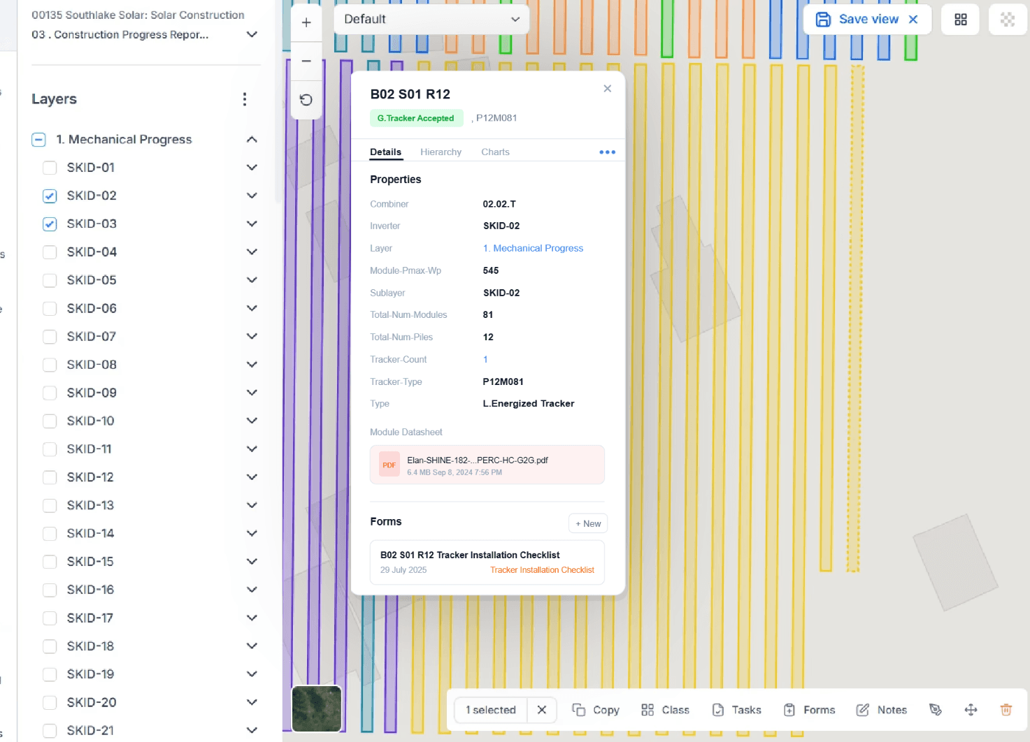
TaskMapper combines a Map Twin, Equipment Twin, and Process Twin in one relational system. That means every tower, span, conductor, and substation asset can be connected to its design, materials, field updates, quality records, and document history — so every management number resolves back to the asset, dependency, and evidence behind it.
Map Twin
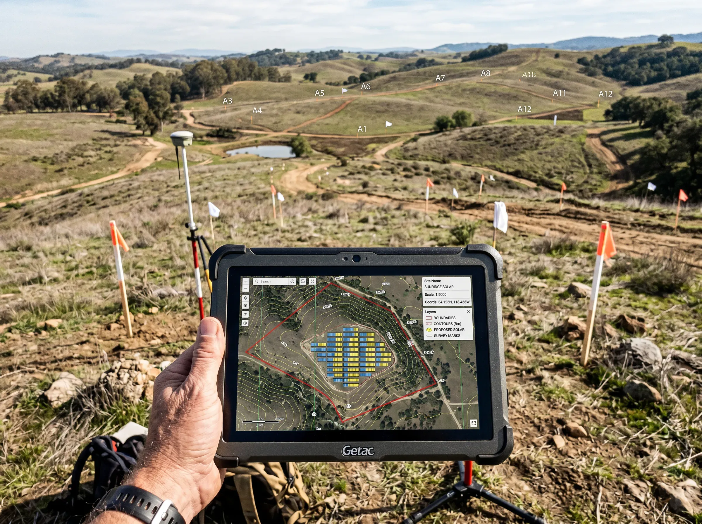
Bring together the route, right-of-way, villages, crossings, facilities, and stringing corridor in one geospatial view, with every construction front shown where it actually is.
Equipment Twin
Track every structure in exact tower sequence, with type, span, soil, foundation, design, quantities, and materials, plus the serialized conductors, insulators, and substation equipment tied to each one.
Process Twin
Digitize field updates, photos, approvals, quality checks, and document history — then connect them directly to the exact structure or bay on site.
Workflows
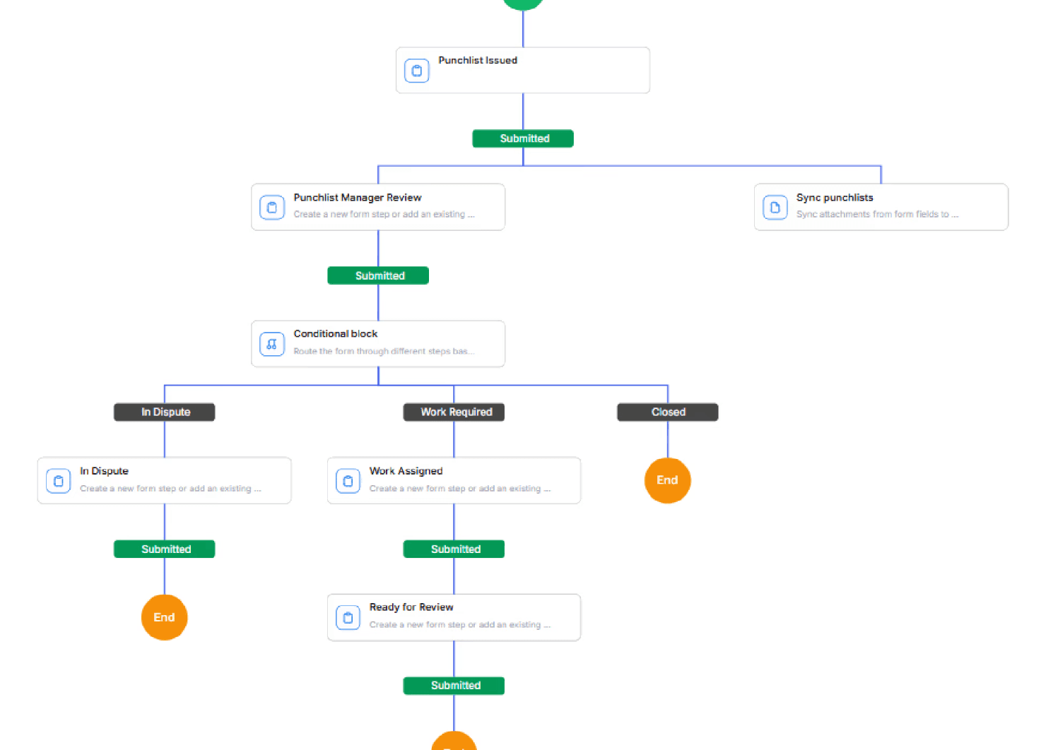
Built for the Work T&D Teams Actually Do
TaskMapper is designed around real line and substation workflows, from right-of-way clearance and foundations to stringing, testing, and handover.

Mobile + AI
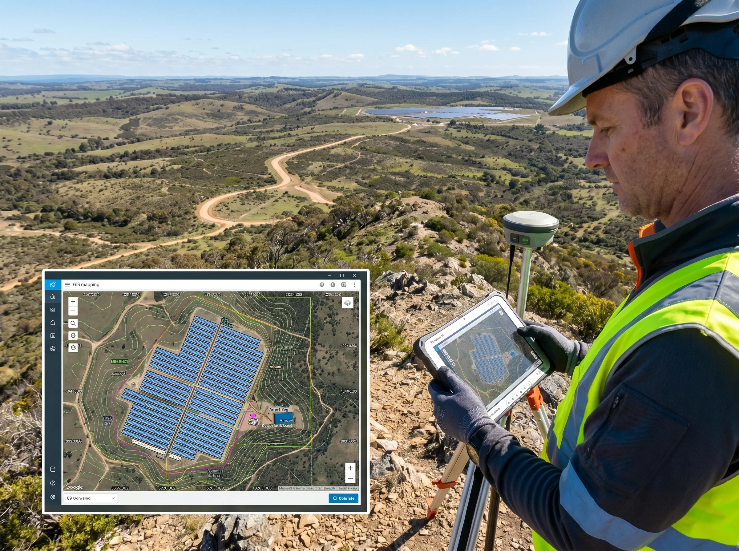
Field-Ready for Crews. Decision-Ready for T&D Leaders.
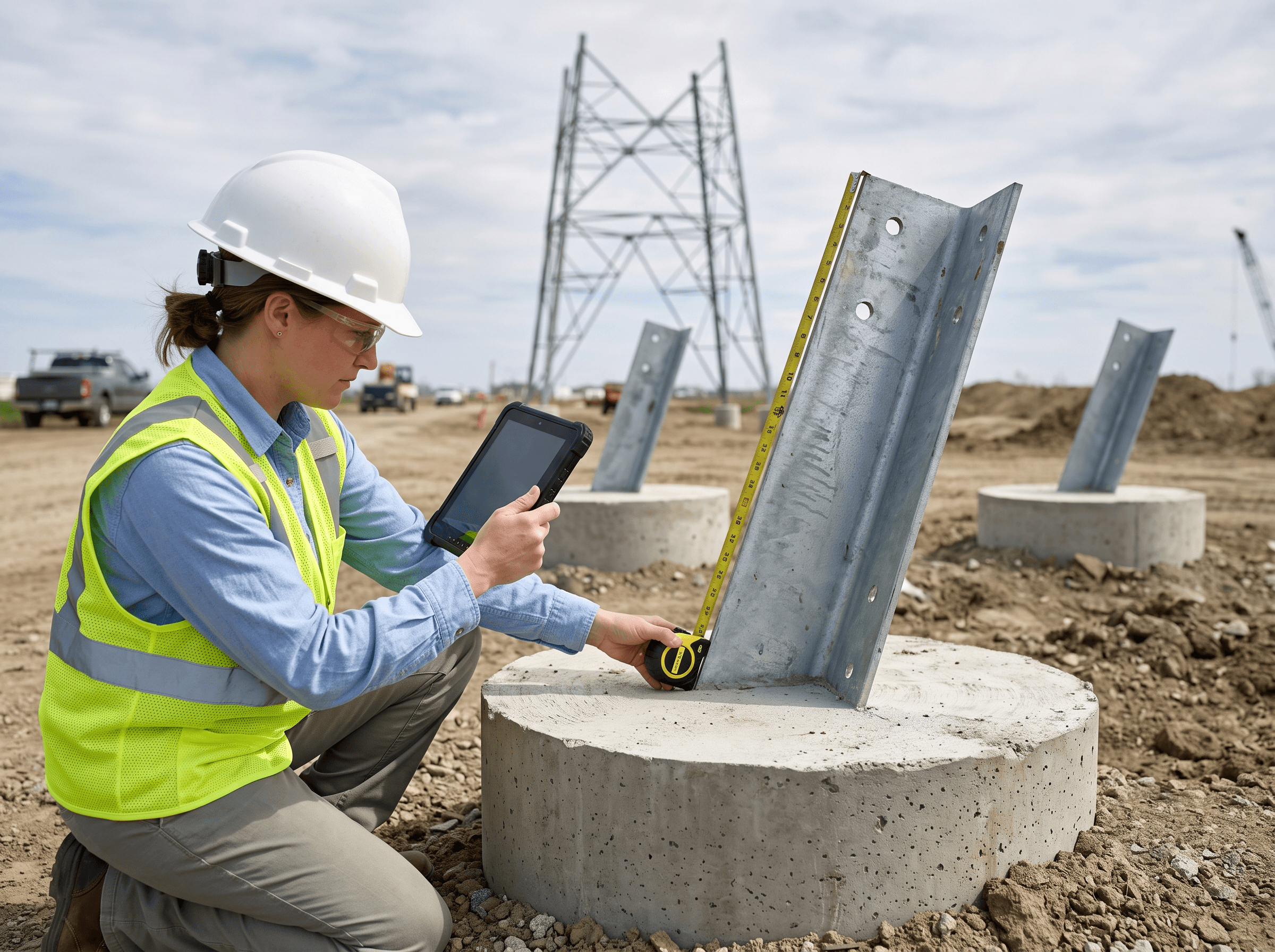
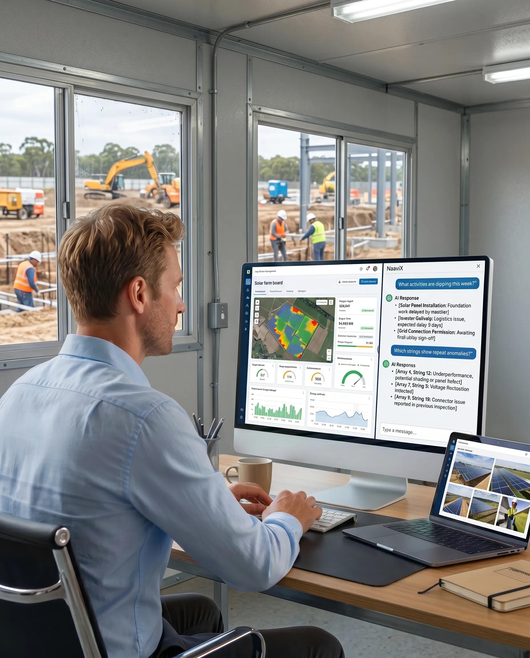
Field teams can navigate to structures and substations, update foundation, erection, stringing, and electrical work progress, capture geo-tagged photos, complete QA/QC forms, and submit daily field updates directly from site — even across remote corridors. Managers get live network maps, automated S-curves, contractor performance views, and schedule risk insights. With NaaviX AI, teams can ask natural-language questions and move from field updates to faster decisions.
NaaviX prompt examples
Which structures are behind schedule this week?
Is right-of-way clearance complete for Segment 4?
Which substation bays are awaiting protection testing sign-off?
TaskMapper vs. Generic CPM/PMIS vs. Spreadsheets
Built for T&D. Not Adapted for It.
Generic construction tools were never designed for the scale and geography of transmission and distribution networks. If you're evaluating utility asset management software or a digital twin for utilities, here's how TaskMapper compares where it matters most.




Outcomes
Reporting — hours per cycle, as manual handoffs get retired.
Data latency — time from a field event to the management view, including how fast a challenged number can be traced back to its source.
Front readiness — how many schedule-ready towers are actually blocked, and why.
Quality — median open NCR ageing and closure evidence completeness.
Engineering — time to retrieve the current design, with full revision and approval traceability.
Adoption — active users by role, plus update cadence and ownership.

Frequently Asked Questions
What is transmission and distribution construction management software?
Can the platform handle long, linear corridors spread across remote terrain?
Does TaskMapper replace our existing GIS, ERP, or scheduling systems?
Does SenseHawk support drone or satellite monitoring of right-of-way and structures?
Is the platform secure enough for critical grid infrastructure data?